 Bellingcat
 Google Maps Imagery Misreported as New Highlights Gaza Destruction
Article Content

- •Google Maps imagery misreported as new; actual updates date back to June 2026.
- •Recent satellite images from Planet Labs show ongoing destruction in Rafah.
- •Social media posts earlier this year had already analyzed similar imagery.
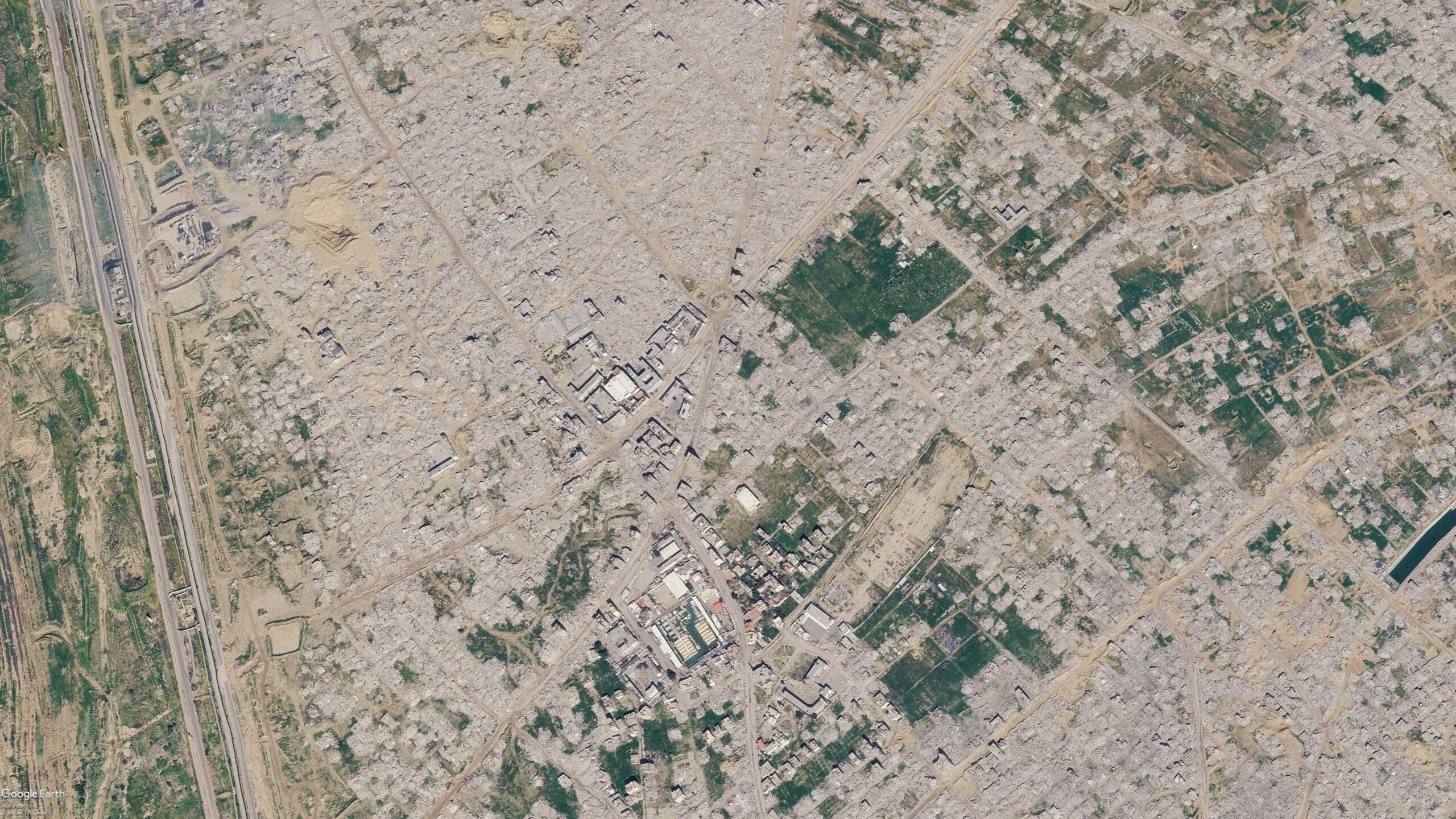
Recent social media posts claimed that Google Maps had updated satellite imagery showing destruction in Gaza, particularly in Rafah. However, a Google spokesperson clarified that the imagery had been available since June 2026, and earlier posts had analyzed similar images as far back as May. Bellingcat obtained more recent satellite imagery from Planet Labs, revealing further destruction in Rafah as of September 2026. The imagery shows stark contrasts between earlier and later images, indicating ongoing demolitions since 2024. The latest updates illustrate extensive damage, with many neighborhoods flattened and few buildings remaining intact. This situation continues to evolve, with satellite data providing insights into the humanitarian crisis in the region.
Ask AI about this cluster
Answers cite the sources they use
Timeline
More articles in this cluster (3)
Common questions
What is the timeline of the satellite imagery updates?
How recent is the destruction shown in the imagery?
What was misleading about the social media posts?
Continue Reading
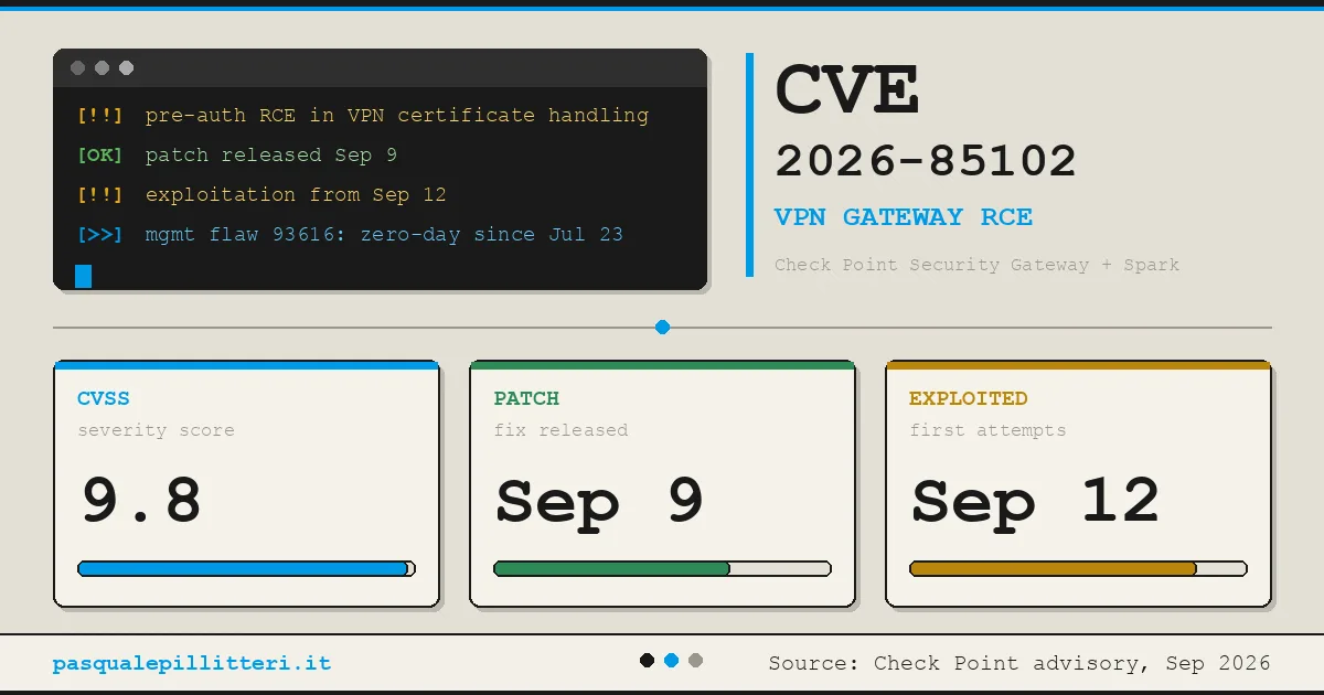 Critical Zero-Day Exploits Target F5 and Check Point Products F5 Networks released emergency hotfixes for a critical zero-day vulnerability, CVE-2026-94127, in its BIG-IP Access Policy Manager on September 22, 2026, after confirming active exploitation. This flaw allows unauthenticated remote code execution (RCE) and has a CVSS score of 9.8. Concurrently, Check Point disclosed…
  Critical Citrix NetScaler Zero-Day Vulnerabilities Exploited Citrix disclosed two critical zero-day vulnerabilities, CVE-2026-88771 and CVE-2026-88772, affecting NetScaler ADC and Gateway systems, which are being actively exploited. Both vulnerabilities have a CVSS score of 9.5 and allow unauthenticated attackers to execute arbitrary commands remotely. CVE-2026-88771 arises…