 hforsten.com
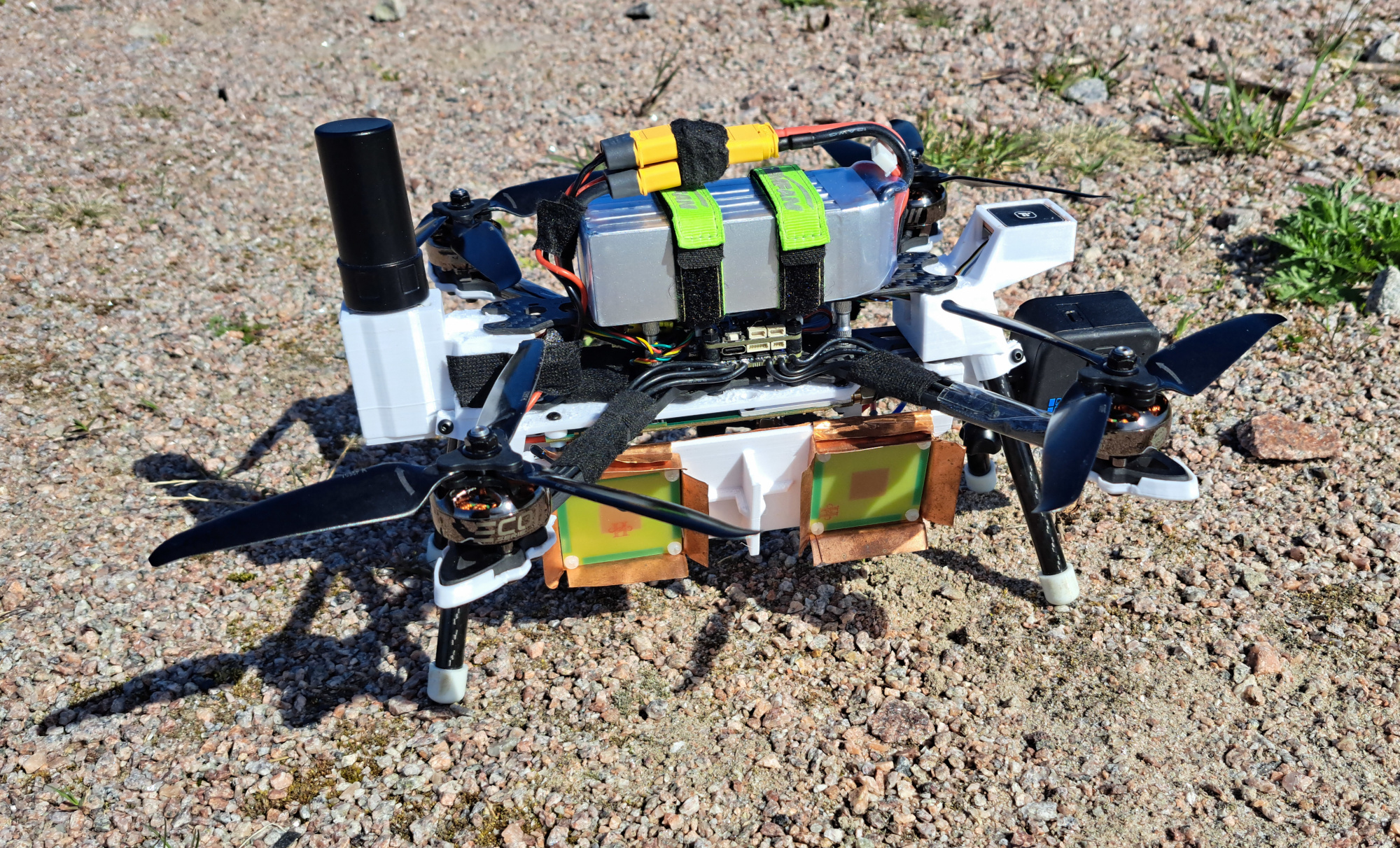
 Advancements in Synthetic Aperture Radar Drone Technology
Article Content

- •The SAR drone now uses an RTK GPS for improved positioning accuracy.
- •A new autofocus algorithm enhances image quality significantly.
- •Interferometric imaging capabilities allow for detailed elevation mapping.
Henrik Forstén has made significant improvements to his synthetic aperture radar (SAR) drone, enhancing both hardware and software capabilities. The latest updates include a new autofocus algorithm and the addition of an RTK GPS receiver, which improves positioning accuracy to within 1-2 cm. This allows the drone to generate high-resolution interferometric images, essential for applications requiring precise elevation mapping. The system can now better handle multiple targets in the radar beam, resulting in clearer images. The improvements are based on the existing hardware, which has been optimized rather than replaced. Forstén's work demonstrates the potential for low-cost SAR technology in various fields, including environmental monitoring and infrastructure assessment.
Ask AI about this cluster
Answers cite the sources they use
Timeline
More articles in this cluster (3)
Continue Reading
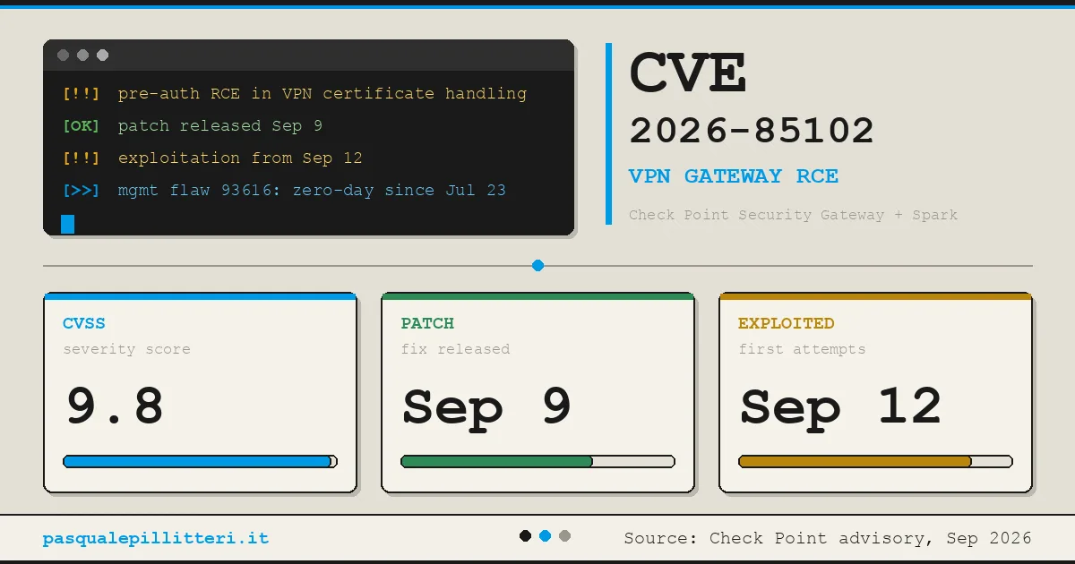 Critical Zero-Day Exploits Target F5 and Check Point Products F5 Networks released emergency hotfixes for a critical zero-day vulnerability, CVE-2026-94127, in its BIG-IP Access Policy Manager on September 22, 2026, after confirming active exploitation. This flaw allows unauthenticated remote code execution (RCE) and has a CVSS score of 9.8. Concurrently, Check Point disclosed…
  Critical Zero-Day Vulnerability in F5 BIG-IP APM Exploited for Remote Code Execution F5 Networks has reported a critical vulnerability in its BIG-IP Access Policy Manager (APM), tracked as CVE-2026-94127, which is being actively exploited in the wild. The flaw allows unauthenticated attackers to execute remote code on systems configured with both an APM access policy and an OAuth profile. This…