 Wionews
 China Expands Ocean Floor Mapping Amid Rising Submarine Warfare Tensions with US
Article Content

- •China is mapping the ocean floor to enhance submarine warfare capabilities.
- •At least 18 Chinese vessels are involved in seabed mapping across key oceans.
- •US officials view China's mapping efforts as a significant strategic threat.
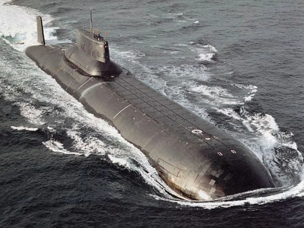
China is intensifying its efforts to map the ocean floor across the Pacific, Indian, and Arctic oceans, which is crucial for enhancing its submarine operations. This initiative is part of China's civil-military fusion strategy, aimed at improving defense planning and operational capabilities in contested maritime regions. Research vessels, including the Dong Fang Hong 3, are actively collecting seabed data, which is vital for submarine navigation and concealment. The data gathered will enable China to optimize sonar performance and track submarines in strategic waterways, including areas surrounding Guam. US naval officials have expressed concerns that this mapping activity poses a significant strategic threat, as it enhances China's ability to detect and evade US submarines. The program involves at least 18 vessels, with some specifically designed for seabed mapping. The ongoing operations are presented as scientific but are closely monitored by US intelligence as they may have military implications.
Ask AI about this cluster
Answers cite the sources they use
Timeline
More articles in this cluster (2)
Continue Reading
 CISA Mandates Urgent Patching of Five Critical Flaws Exploited by Flax Typhoon The U.S. Cybersecurity and Infrastructure Security Agency (CISA) has ordered federal agencies to patch five critical vulnerabilities by October 11, 2026, following exploitation by the China-linked hacking group Flax Typhoon. The vulnerabilities, added to CISA's Known Exploited Vulnerabilities (KEV) catalog, include…
  Critical Zero-Day Exploit Found in BeyondTrust Remote Support BeyondTrust disclosed a critical vulnerability, CVE-2026-102764, in its Remote Support product, exploited by the suspected China-linked group ARMORY CASTLE since August 2026. This flaw, with a CVSS score of 9.3, allows attackers to perform arbitrary file uploads and gain host-level control without requiring…