 skyfi.com
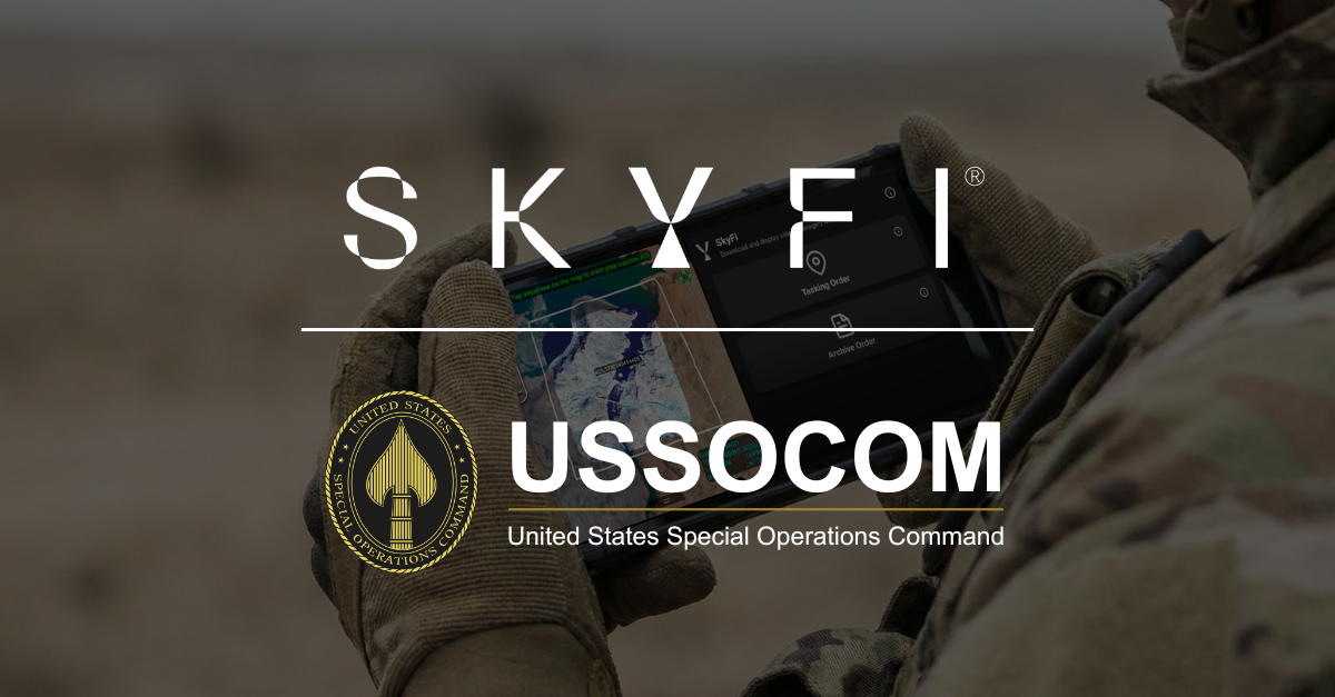
USSOCOM Partners with SkyFi for Enhanced Geospatial Intelligence Delivery
Ask AI about this cluster
Analyzing cluster data...
Referenced clusters:
Something went wrong. Please try again.
Cluster AI
Ask questions about this threat cluster with AI-powered analysis.
Get Researcher $29.99/moArticle Content
U.S. Special Operations Command (USSOCOM) has selected SkyFi to develop a prototype aimed at improving the delivery of satellite imagery and geospatial data to tactical forces. This Phase I initiative focuses on creating a Sovereign Intelligence Platform and an Android Tactical Assault Kit plugin to facilitate faster access to critical data. SkyFi provides tools for accessing satellite imagery, conducting analytics, and integrating geospatial data into operational workflows. The initiative is part of a broader effort to enhance situational awareness and decision-making in modern conflicts, particularly in light of recent findings on the use of geospatial intelligence in the Iran conflict. The project may lead to further integration and improved visualization tools for operational use. The current status is that the assessment phase is underway, with potential follow-on work anticipated based on initial findings.
Key Points: • USSOCOM is testing SkyFi's capabilities for faster geospatial data delivery. • The initiative includes developing a Sovereign Intelligence Platform and ATAK plugin. • Geospatial intelligence is increasingly vital for tactical decision-making in modern warfare.